This is a short two-night stop for us just to regroup and take care of a few administrative details such as bills and laundry. But it’s nice and it was a wonderful drive. There were miles and miles of rolling hills, green or brown, alternating with forest area and fields of crops and sunflowers. Sunflowers and black-eyed susans everywhere for as far as the eye could see and I had to laugh out loud, yellow being my favorite color and all. It was a happy ocean of yellow.
 |
| Sunflowers galore! |
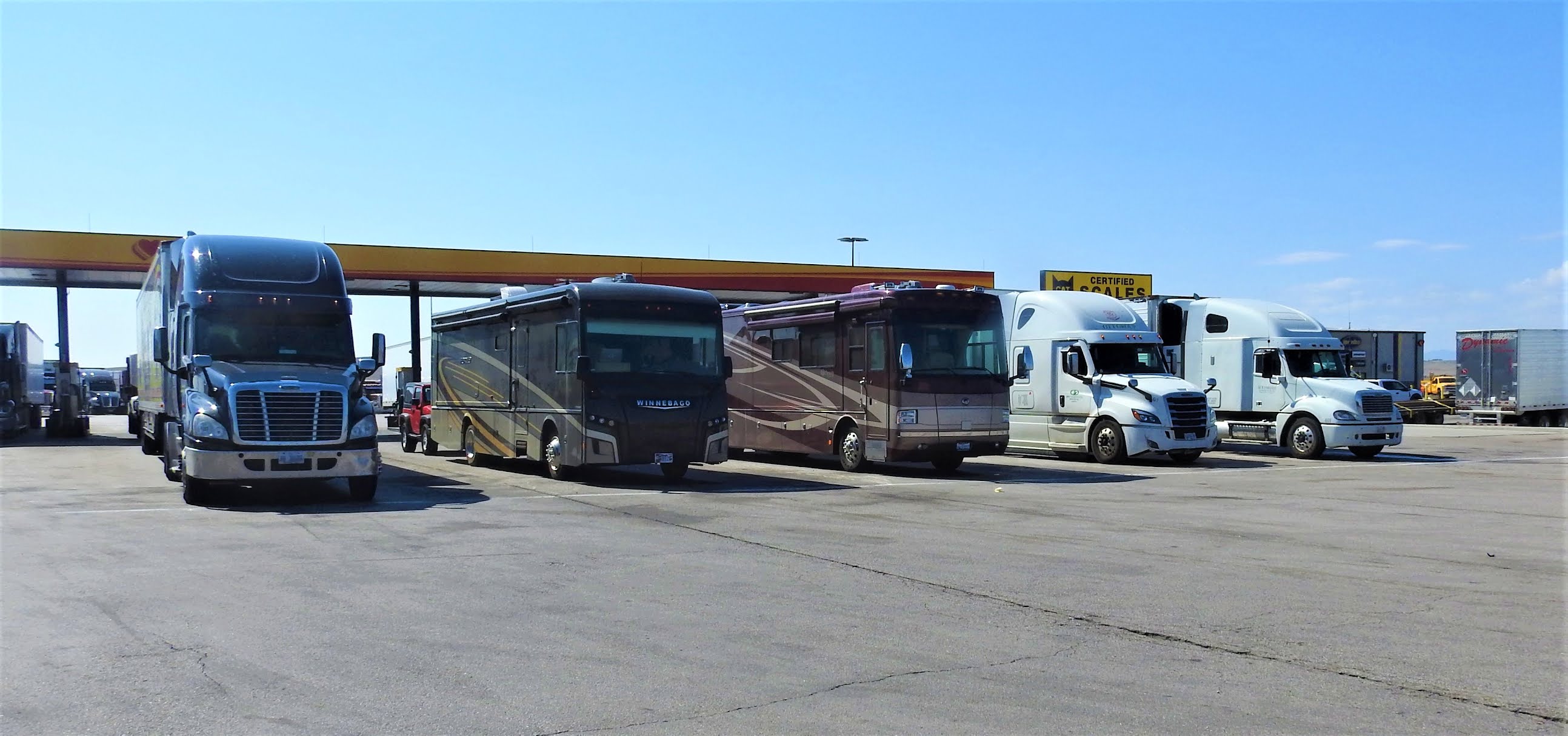 |
| Standard refueling stop for Noobee |
 |
| Oregon Trail RV Park |
 |
| Considerate, I think, to put a bar in the laundry room! |
Oregon trail RV Park in Atkinson is a tiny little affair. The young new owners are struggling and working very hard on a facelift and making improvements and they are doing a great job. You can’t beat $28 for an overnight stay in a nice little rustic place such as this surrounded by black-eyed susans and grain silos.
About midday, the sky turned black and we knew we were in
for it. Then, we heard the squeal of a
siren. Oh shit, is that a tornado
warning?! Tornadoes love rv parks for
some reason. They eat them for
breakfast! Turns out it was the noon whistle,
Tammy the owner told us. We breathed a
big sigh of relief and sat through a rain storm. Otherwise, the weather has been fairly
nice. Fall is on the way and the trees
are beginning to change color. We have
gotten some cold temperatures, down to 48F at night in Evansville. Time to haul out the sweats. The beauty of traveling in an rv: my suitcase on wheels! BIG suitcase!
We were told of a restaurant to try but it was closed on
Monday. Everything was closed. They roll up the sidewalks in Atkinson,
Nebraska on Monday. Well, it’s hot dogs
for dinner. We head off to Iowa in the
morning.

I forgot to send you a picture of the first odometer that I learned about at the trail museum in Evansville, WY. Here’s the deal. Before this sophisticated device, the emigrants would attach a white cloth to the outer edge of one of the wagon wheels. Since they learned math back then, they knew the circumference of the wheel. It was the job of one of the youngsters to walk beside the wagon and count the number of revolutions the wheel made by watching the white cloth and then, doing some upper level math like multiplication and division, they knew how many miles they had traveled. Along came an engineer who came up with the clever device seen in the picture. The red arrow points to a peg attached to the axle of the wheel. With each revolution, it moved the peg on the shaft. The spline on the other end of the shaft engaged the teeth on two gears (indicated by the black arrow) that were marked with numbers, the numbers being miles and tens of miles. Then, somebody would have to do math again, in this case addition, and add up the daily miles to find the total on the trip so far. Just thought you would want to know about this.
Also I’m inserting a few pictures I forgot to send from Piedmont, SD.
 |
| Riding the trail |
 |
| Connie and Lindy at Cox Lake. The water is so blue it looks fake. Nobody knows how deep this lake is. Divers have never reached the bottom. |
 |
| Captain Gary, Lindy & Rob on the bridge in Noobee |
 |
| Our shirts on 9-11. United we stand. God Bless America. |
love the shirts!
ReplyDeleteHappy you took time to visit my home state of Nebraska! I was born and raised in Chadron (left for Colorado at 19) lived in Ainsworth '69 to '70 while Bob in Vietnam
ReplyDelete👍😃
ReplyDeleteLindy, we always enjoy your pictures.
ReplyDeleteThey are a nice touch.
Happy Traveling.
F & L
The siren and black clouds - I would have thought the same thing.
ReplyDeleteMiss you Kathy & george
This is a note from George:
ReplyDeleteThe original US land survey was done by rag-on-wagon-wheel method, then at every mile (section corner) a stone, which was not native to that area, was tossed off of the wagon. Then part of the survey crew would dig a small pit, put the rock in and build a fire, when the was out they would bury the rock. The crew would then create some kind of surface marker, could be a pile of rocks or blaze on a tree, they were not consistent.
It is amazing that their surveys were generally quite accurate, usually within just a few feet; the validity of those monuments are in effect today, the public survey system is based upon these. When I worked for an engineer in Phoenix, we did a lot of surveying out in the desert, it was necessary to use these original monuments as a point-of-beginning for our survey. It was like finding buried treasure when they were located, sometimes it took a lot of effort to locate them, but we did.
Love the narrative, the photos and your tee shirts! Happy it wasn't a tornado. Enjoy!
ReplyDelete